Crime Rhythm Maps
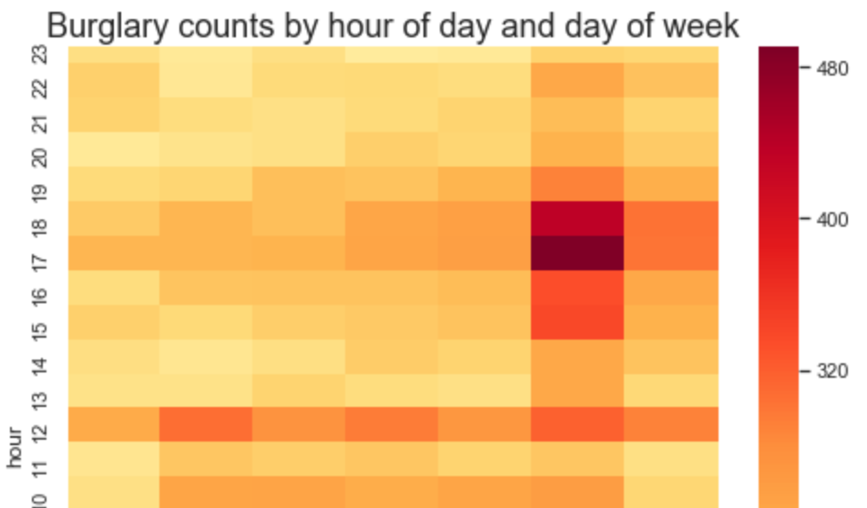
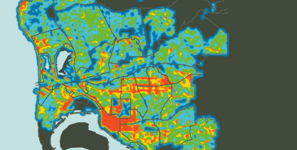
Temporal heat maps of Crime in San Diego, broken out by community, with bonus FFT analsis
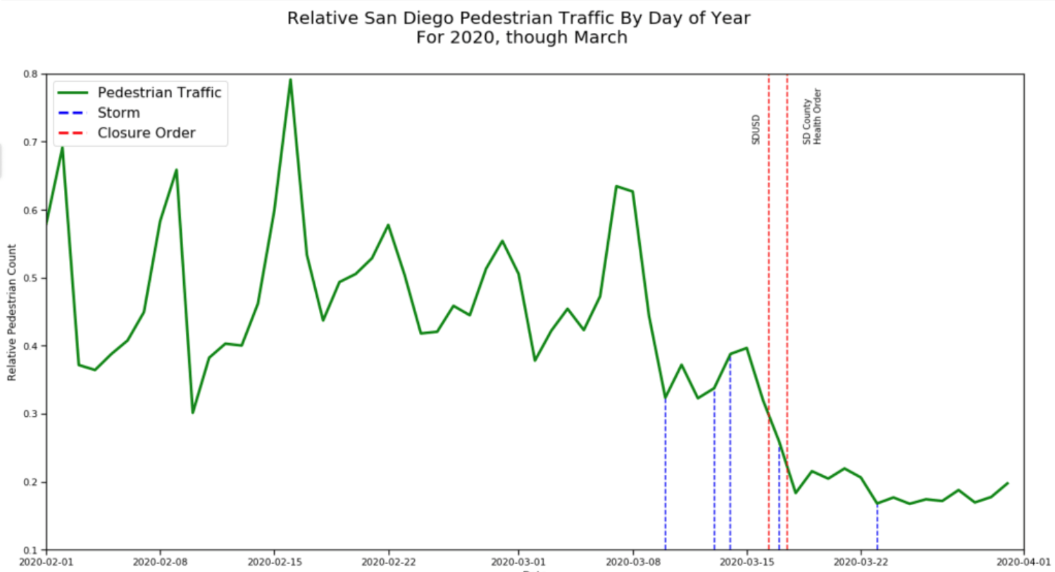
View from Streetlamps: San Diegans are Staying Home
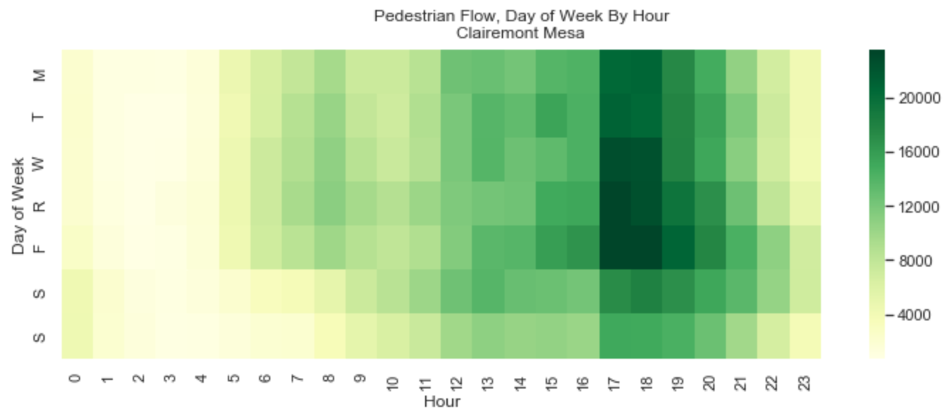
Visualizations of pedestrian traffic in San Diego showing the impact of COVID-19 lock down orders.
Tracking City Department Performance
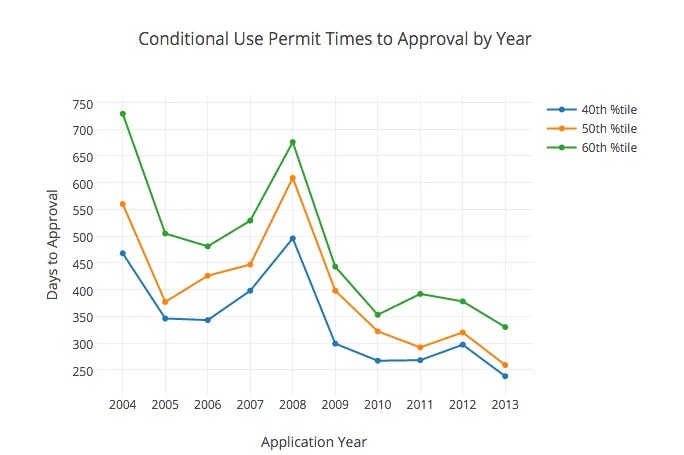
Andy Keatts, a reporter for Voice of San Diego, had been working for months with the City’s Development Services Department to release hundreds of thousands of development permit records, but working with XML data was beyond a reporter’s typical skill set. Civic Knowledge extracted the records from the City’s API and converted the XML records … Read more
Plotting San Diego Streetlights
The Challenge After writing a series of stories about San Diego city infrastructure, Voice of San Diego reporter Liam Dillon turned his attention to street lamps. Although the city published GIS data for the locations of street lamps, Liam wanted to understand how the number of lamps varied by community. The Solution Working through our non profit project, … Read more
Health Data +
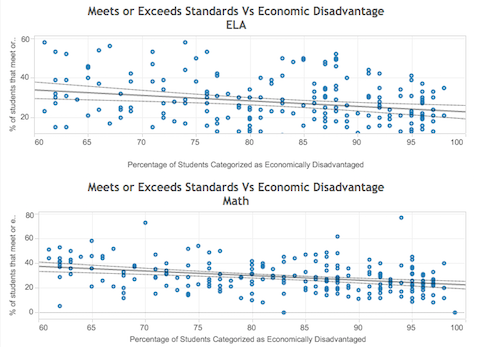
A California Health Care Foundation sponsors projects to make health data more available.
Analyze Street Sweeping GPS Data
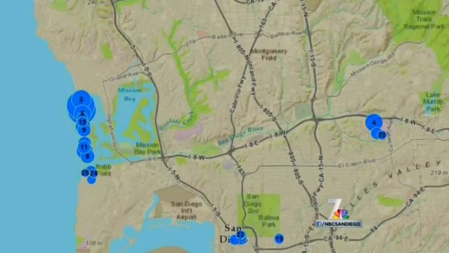
By merging the reduced data with records of traffic tickets, we determined where residents had been ticketed for parking on a street that was not swept, to support a series of NBC 7 stories.
Analyze Street Sweeping GPS Data
Project Description When Wendy Fry, a reporter with NBC 7 San Diego, requested data for a story about street sweeping, the city sent her a dump from their dispatch system’s GPS logs, a dozen files with several million records. Civic Knowledge, working under its nonprofit San Diego Regional Data Library, processed the records to determine … Read more

